My first venture out was on the 9th of March 2017 to visit Bonsall Leys Lead Mines situated south east of the village of Bonsall in Derbyshire. The old mines lie on Bonsall moor in the immediate area north of the right angle bend of Leys Lane, as shown on the map below, and consist of a scattering of small shafts with associated spoil heaps and a series of rakes (lengthy shallow excavations into the ground in pursuit of surface ore veins). A parking space is available right on the bend and is large enough for a couple of cars.
The area is popular with walkers and is criss-crossed with footpaths. The Limestone Way cuts across the moor on its way from Castleton in North Derbyshire to Rocester in North Staffordshire.
Background
Lead mining dates back to the Roman times in Derbyshire but has an
extensive history from post Medieval times to the 19th Century. Most of
the working here appear to have been fairly small scale and dates back
to Medieval times but has probably been re-worked many times over as the
mining and smelting techniques improved and allowed for the extraction
of lower grade ores which were previously ignored/discarded.
Where mineral veins were evident from the surface the ore was mined by
excavating along the vertical veins, often referred to a Rakes, leaving
long cuts in the landscape. Along side these are many shallow shafts
and associated spoil heaps where attempts have been made over time to
locate or intersect further veins underground.
I
believe most of the shafts were left open up until the 1980s when they
were covered with concrete railway sleepers to protect the public. They
appear to be generally about 1.5 metres in diameter and stone lined.
Mineralogy
The area was extensively mined for the Lead ore Galena although there is
mention of Calamine (Smithsonite - a Zinc Carbonate usually formed
through the alteration of Zinc Blende) also being present in this area
but I'm unsure if this was ever in sufficient quantities to be of
economic significance. Associated with the metallic ores are the
minerals Fluorspar and Baryte.
Minerals found
I found the majority of the spoil heaps to be devoid of any mineral
content, probably due to being reworked many times and extensively
picked over through the years.
Only one heap revealed any evidence of mineralization.
Some useful references
Bonsall Leys lead mines (Historic England)
A survey of surface features at Fools Venture Mine
 |
| THE LIMESTONE WAY ON BONSAL MOOR |
|
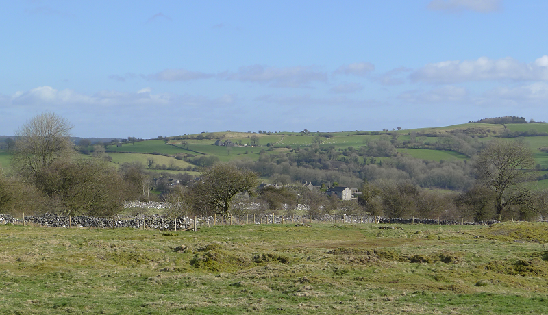
| VIEW ACROSS THE MOOR TO BONSALL VILLAGE |
 |
| MINE SHAFT COVERED WITH SLEEPERS |
|
| SHAFT LINING - VIEWED THROUGH A GAP IN THE SLEEPERS |
|
| COVERED SHAFT WITH ANOTHER SHAFT AND CIRCULAR SPOIL HEAP IN BACKGROUND |
|
| THE START OF A RAKE WHICH EXTENDS FOR SOME DISTANCE BEYOND THE TOP OF THE PICTURE |
|
|
| EXTENSIVE SMALL WORKINGS COVER THE AREA - NOW MOSTLY OVERGROWN |
 |
| GALENA WITH BARYTE |
|
| A SOMEWHAT WEATHERED SPECIMEN OF FLUORSPAR WITH BARYTE |


No comments:
Post a Comment